

Sussex County Council has approved a Future Land Use Map change for the Reed Farms property near Milton, marking another step in a long-running discussion.
The decision does not rezone the land or approve a specific development plan, but it does change how the property is identified in Sussex County’s Comprehensive Plan.
Council Approves the Map Amendment
At its April 21st meeting, Sussex County Council voted 4 to 0 to approve Ordinance No. 4048 for Reed Farms LLC.
Councilman John Rieley was absent.
The ordinance amends the Future Land Use Map of the Comprehensive Plan for three tax parcels on the west side of Gravel Hill Road, also known as Route 30, just south of Milton Ellendale Highway, also known as Route 16.
The affected addresses are:
- 14888 Gravel Hill Road, Milton
- 14866 Gravel Hill Road, Milton
- 14742 Gravel Hill Road, Milton
Together, the parcels total about 67.31 acres.
Before the vote, the property was designated as a Low Density Area, a classification generally associated with rural and farmland areas.
The Council’s approval changes the designation to Developing Area, which is associated with higher growth potential.
Image: Sussex County
What the Vote Does and Does Not Do
One of the biggest points made during the discussion is that this approval does not change the zoning of the property.
The land remains zoned AR 1, agricultural residential. Under that zoning, development is limited to no more than two homes per acre.
Any future zoning or conditional use request would require its own application, public hearing, and opportunity for public input.
That distinction matters because some nearby residents have expressed concern that the map change could open the door to future commercial, industrial, or higher intensity uses.
While the map amendment does not approve those uses by itself, it may make future land use requests more consistent with the county’s long-term planning map.
Why the County Supported the Change
The reasons adopted with the motion point to the property’s location, surrounding land use designations, and transportation access.
According to the April 21st meeting minutes, the Planning and Zoning Commission’s reasons included that properties to the east are already within the Developing Area, while properties to the south are designated as Industrial.
County officials said changing the Reed Farms parcels to Developing Area is consistent with those nearby map designations.
The property also has extensive frontage on Route 30, which is designated by the state as a truck route.
Its location near the intersection of Routes 30 and 16 was another factor cited in support of the amendment.
Rail access was also emphasized. The adopted reasons state that railroad service is available to the property and that the amendment supports transportation goals in the Sussex County Land Use Plan.
The county’s reasoning specifically referenced the importance of freight movement and the possibility of shifting more freight to rail where opportunities exist.
In the county’s view, the combination of nearby growth designations, roadway access, truck route frontage, and rail service made the map change appropriate for this location.
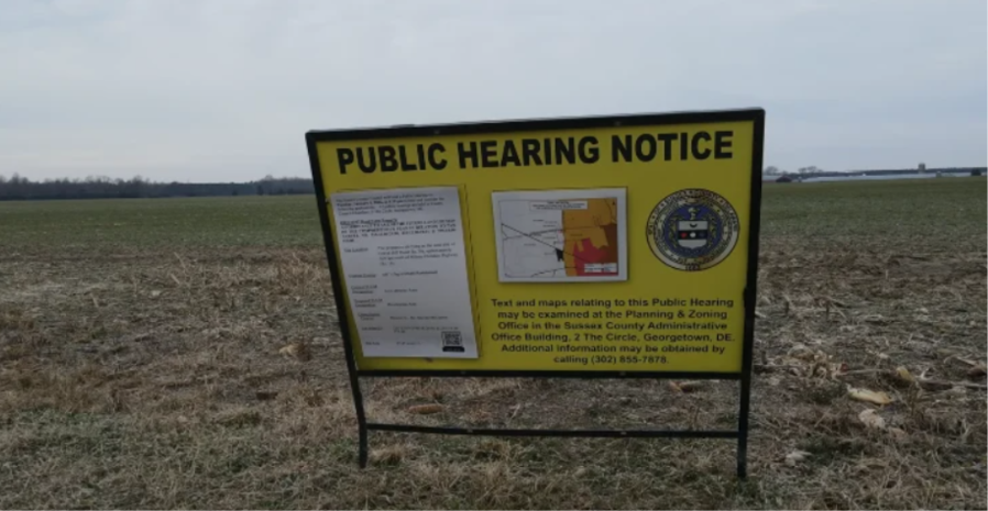
Image: Coast TV
Neighbors Raised Concerns About Future Development
The Reed Farms property has also drawn concern from nearby residents, especially those in the Pemberton community across the street.
He pointed to concerns about wells, runoff, traffic, children waiting for the school bus, and the possibility of an entrance or traffic light near the neighborhood.
Those concerns reflect a broader issue that often comes up in Sussex County land use cases.
A Future Land Use Map change does not approve a site plan, but residents often see it as a first step toward a more intensive development proposal.
What Happens Next
For now, the most important takeaway is that the Reed Farms land has a new Future Land Use Map designation, but the zoning remains unchanged.
The April 21st vote may not approve a development project, but it does shape the planning context for whatever may be proposed next.
Keep following the blog for more updates on land use, development, real estate, and community news across Coastal Delaware.
Have any questions about our blog(s), the Coastal Delaware real estate market, or local life in our beautiful beach towns? Do you think there is something we should write about? Did you see an event coming up that we should know about? Shoot us an email at [email protected] or give us a call at (302) 212-0074. We would love to hear from you!
Sources: Coast TV, Sussex County
Check out this article next